I spent a couple of weeks this month in Morocco, the majority of which was scouting out a route for a new physical geography fieldtrip for second year undergraduates at King's College London. For the last several years the physical geography fieldtrip has been based on the Morocco coast at Agadir and Essaouira, visiting nearby sites. The new fieldtrip will take more of a transect approach, starting in Marrakech, traversing the High Atlas mountains and following the River Draa out to the edge of the Sahara (see map below).
As we work our way up and through the High Atlas one of the things we'll consider is how vegetation changes and what might be driving those changes. In the picture below you can see colleagues on the trip Prof. Drake and Dr Chadwick (@DrMChad) debating (and betting on!) vegetation on the hills over-looking the town of Demnate.
For example, what are the relative influences of climate and human activity on the vegetation we see? In the picture below Prof Drake confronts one potential disturbance.
As this is a new trip and we'll be staying in a new location each night, one of our tasks was to check the accommodation we'll be staying in. Here hotel connoisseurs Drake and Chadwick relax in luxury in the gîte at Toufghine.
There's some impressive geology in the High Atlas and we'll discuss that as we go too. The scale of some of the tectonic features is illustrated by Prof Drake in the bottom right of the picture below.
We'll also be surveying rivers, both their geomorphology and ecology. Another of our tasks therefore was to work out what we would examine and where along the various rivers in the region.
Once we get over the High Atlas and the Anti-Atlas beyond we'll follow the River Draa all the way to the desert. The Draa is a vital life-line for people in the region, with water drawn from the river used to irrigate agriculture (including wheat).
Once the water has all been used up we reach the desert. There we'll look for evidence of previous flows of the Draa and of climate change. Some of the dunes can be steep.
But the view from the top is usually good, especially at sunset. We'll stay a night out in the dunes with the students to get a feel for what it might be like living in such hostile environment.
And of course there will be camels! Below, our driver negotiates a herd as we head back north to Marrakech on the final leg of our trip.
So it looks like we're going to have a great trip with our students in December and following years! The trip will allow us to investigate how climate, geology, geomorphology, ecology and livelihoods change across space and how they have changed through time.
For the second half of this term I'm teaching the 'Time, Environment and Landscape' module of the First year undergraduate class 'Geography Concepts, Skills and Methods' at KCL.
Today was my first lecture, on 'time'. I talked about some of the issues we need to take into consideration when we are collecting data over time, and then how that influences what we can see from the data and how we analyse them (i.e., time-series analysis). To help think through some of the considerations I used some time-lapse movies of landscapes.
I've been experimenting with making my own time-lapse videos after getting a remote control for my dSLR last year. In lectures the movies are useful for illustrating how our understanding of things is influenced by the frequency and duration over which we sample our data collection.
As one of the datasets we'll be analysing in the computer practical sessions that go with the lectures on this module is the Keeling curve, at the outset of the lecture today I showed this movie of some of some Hawaiian landscapes:
Then, later in the lecture, to get students thinking about how sampling data 'compresses' time so that we can see things differently, I showed this movie of the Jorge Montt Glacier in Chile:
Finally, we looked at some time-lapse movies I made myself. I show the students different versions of the same video (below) to illustrate how different sampling frequencies combined with different numbers of photos (data points) changes what we can see happening.
You can see more time-lapse movies I've made in my vimeo album. Once I've got enough maybe I'll try stitching them together with some music like that fancy Hawaii one!
My blogging's been quite dry recently. So here's something more fun. If you like landscape photography, you'll love this video (expand to fullscreen if you can):
My landscape interests usually focus on contemporary, biological issues like forest dynamics and human activity. But driving through Arizona's desert it's hard not to be impressed by landscape features shaped over geological time scales.
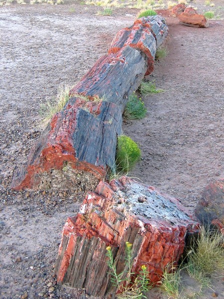
The ancient trees of Petrified Forest National Monument - preserved as quartz crystal moulds of trees buried by sediments before they decomposed - are over 200 million years old.
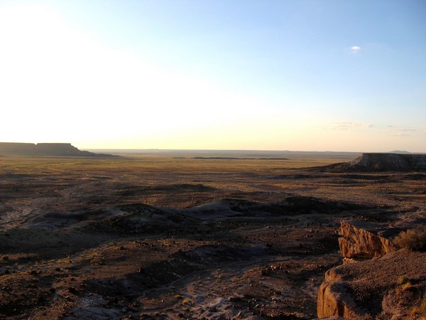
At that time, in the Late Triassic, northeastern Arizona was located near the equator resulting in a tropical climate and vegetation. The climate and landscape couldn't be much more different now and the sheer scale of change (both time and location) are hard to comprehend looking out over the desert sunset.
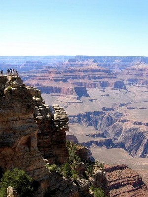
The physical size of the Grand Canyon isn't much easier to comprehend, even when you're stood at the very edge of the southern rim.
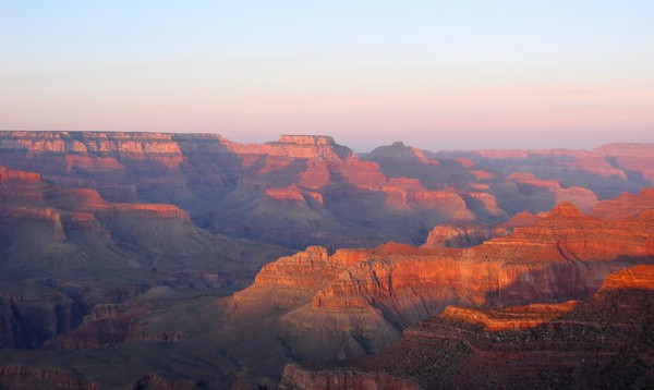
By the time the Colorado river had begun carving the canyon a mere 17 million years ago, the processes leading to its formation had already been at work for around 2,000 million years (the lowest sediments at the bottom of the Inner Gorge date to around that time). Sunset here is no less timeless than in the Petrified Forest.
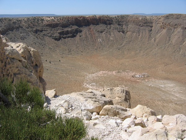
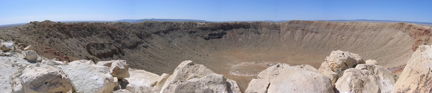
Compared with the forest and the gorge the Barringer Crater was created in the blink of an eye. But the 300,000 ton meteor that hit earth 50,000 years ago had probably being travelling on that collision course for a much longer time.
That these awesome features remain - so huge in time and space - reminds us how fleeting our biological landscapes are.
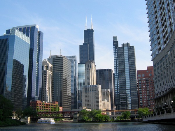
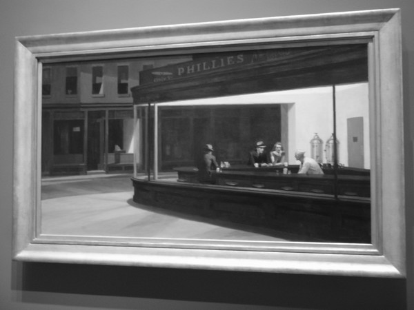
I love the energy of big cities. Sometimes there's so much it spills over into the early hours of the morning. On a trip to Chicago last weekend we saw Hopper's evocative depiction of that straggling energy - when you just don't want to follow everyone else home to call it a night - in his famous Nighthawks.
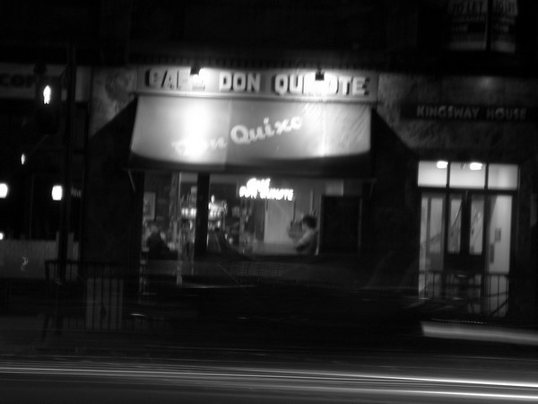
Sometimes the 4am conversation at Cafe Don Quixote was reminiscent of the Spanish Knight; other times it was as lonely as Hopper's nocturnal scene. But there was always people-watching those other stragglers waiting at the bus stop opposite the cafe, and the warm tea always provided just enough energy to survive the night bus home.
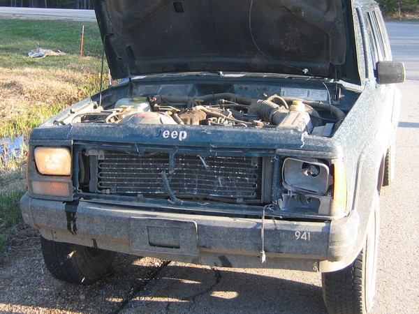
Right now I should be back in East Lansing after a week of fieldwork in our Michigan Upper Peninsula (the UP) study area. We’ve been in the UP this last week to finish up on our mesic conifer planting and white-tailed deer density fieldwork that I’ve written about previously. However, an incident with a deer has delayed us (see the bottom of this post) so I’m doing some data entry and writing in Marquette while our Jeep is repaired.
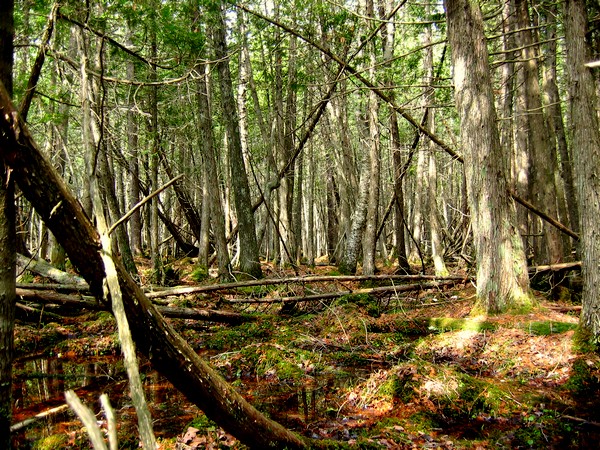
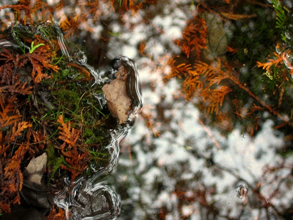
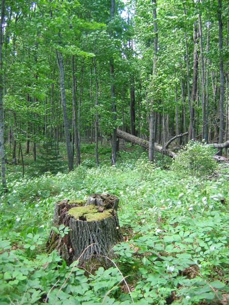
In previous posts about the fieldwork we've done in the UP, I have included photos from forest stands containing deciduous hardwood species such as Sugar Maple or American Beech. Generally, it's understood that white-tailed deer browse juveniles trees in hardwood stands during the daytime in the winter, but shelter overnight in nearby lowland conifer stands. One of the aspects of our project is to identify some quantitative relationships for this behaviour, and so we've often had take measurements in the cedar swamps adjacent to northern hardwood stands.
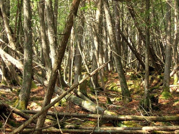
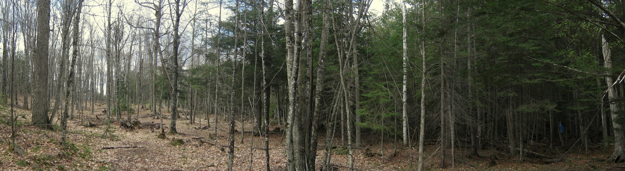
As you can see from the picture above, the density of cedar swamps can make tree measurements a bit tricky. A standard measure of forest stand density (or stocking) is 'stand basal area' - a measure of the area occupied by tree stems (i.e. trunks) in a given area. The northern hardwood stands in our study area can have a stand basal area of anywhere between 60 and 100 square feet per acre. Cedar swamps are much more densely populated, with stand basal area values of 280 to 350 square feet per acre. An example of the transition between these stand types is shown in the picture below (click for a larger image).
The high density of the cedar swamps combined with continual cover provided by the evergreen canopy (generally) make winter snow depths lower and winter air temperatures higher compared with the deciduous hardwood stands. The soggy conditions underfoot make surveying cedar swamps even trickier - one has to hop from tree-root island to tree-root island over puddles whilst trying not to impale oneself on the lower branches. Even with care given enough time you're guaranteed scratches and wet boots.
We've completed our fieldwork for now and are just waiting for our Jeep to be fixed after we hit a deer on our last day of work. With so many deer in the area and the high number of miles we drive around our study area, it was only a matter time before we hit one. We were on a major highway and the deer came out of nowhere. We've often spooked deer driving on tracks through the forest - it seems to me that when they're startled they just bolt in whatever direction they happen to be facing at the time. Even if that means running across the road in front of your vehicle. As you can see below, it left quite a dent in the radiator. But Megan did a good job of keeping us on the road and thankfully the only casualty was the deer.
On Monday several other members of the EE model research team and I met with foresters from Plum Creek and AFM to give them an overview of what we've been working on over the past year or so. Megan (Forestry Master's student) and I gave them the lowdown on what we've been doing with regards fieldwork and analysis of the resulting data, Susan (Natural Resources Master's student) spoke briefly about her work looking at factors influencing the prices of timber sales, and Mike (Forestry Prof.) was on hand to help paint the overall picture.
The foresters we spoke with were interested in our progress to date and asked for more details on tree species-specific patterns we find in our regeneration data so that they might work to continue the sustainability of their forest stands. Megan and are I are likely taking a trip to the study area again in late April to revisit a few sites from last spring and summer, so we'll visit again then.
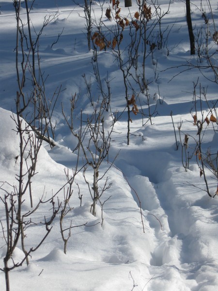
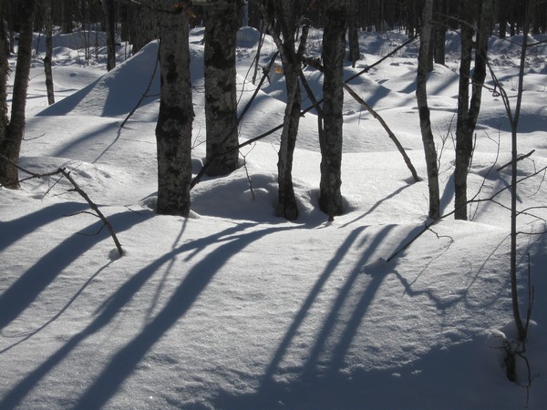
To get from one meeting to the other we drove through our study area. We wanted to see if we could find evidence of winter deer browse and generally get a feel for how the forests (and our study stands) look during the winter. We didn't catch any deer in the act of browsing but, as the top picture below shows, we did see tracks and there were plenty of stunted maple saplings poking just above the snow nearby.
I've been back from our study area in Michigan's Upper Peninsula for over a week so it's about time I posted something about what we were doing up there.
One of the main issues we will study with our integrated ecological-economic landscape model is the impact of whitetail deer (Odocoileus virginianus) herbivory on tree regeneration following cutting. Last November we spent a week planting 2 year-old seedlings in Northern Hardwood forest gaps created by selective timber harvest (like the one in the photo below).
Our plan was to return this spring to examine the impacts of deer browse on these seedlings. In particular, we wanted to examine how herbivory varies across space due to changes in deer population densities (in turn driven by factors such as snow depth).
To this end we selected almost 40 forest sites that would hopefully capture some spatial variation in snowfall and that had recently been selectively harvested. At each site we selected 10 gaps produced by timber harvest in which to plant our seedlings.
In each gap we planted six trees of each of three species: White Spruce (Picea glauca), White Pine (Pinus strobus) and Eastern Hemlock (Tsuga canadensis). We chose these coniferous species as these are examples of the mesic confer species the Michigan DNR are trying to restore across our study area, and because we expected a range of herbivory across these species.
At each site we would also undertake deer pellet counts in the spring to estimate the number of deer in the vicinity of the site during the winter (during which time the browse we were measuring would have occurred).
On returning to the study sites a couple of weeks ago we set about looking for the trees we had planted to measure herbivory and count deer pellets. In some cases, finding the trees we planted was easier said than done. We tried to get our field crews to plant the trees in straight lines with equal spacing between each tree. In general, this was done well but on occasion the line could only be described as crooked at best. Micro-topography, fallen tree trunks and limbs, and slash from previous cutting all contributed to hamper the planned planting system. However, we did pretty well and found well over 90% of the trees.
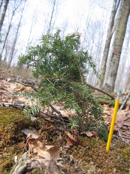
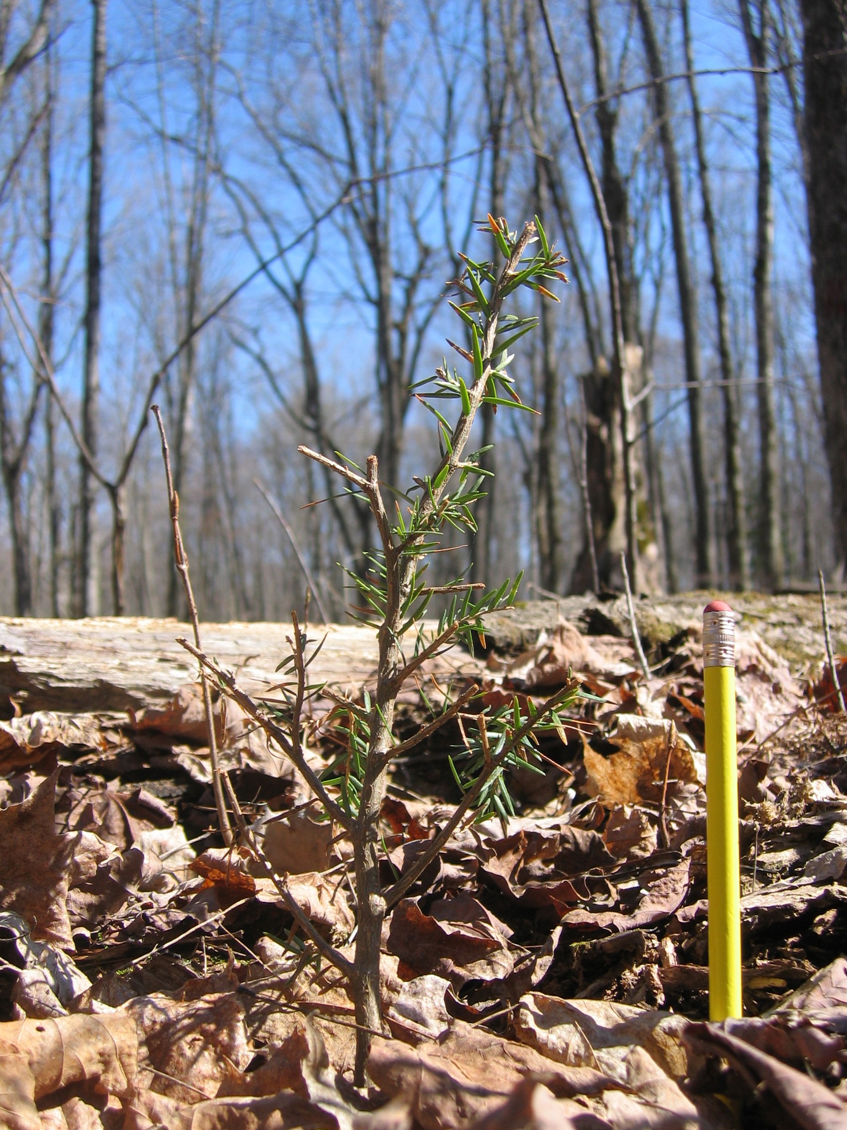
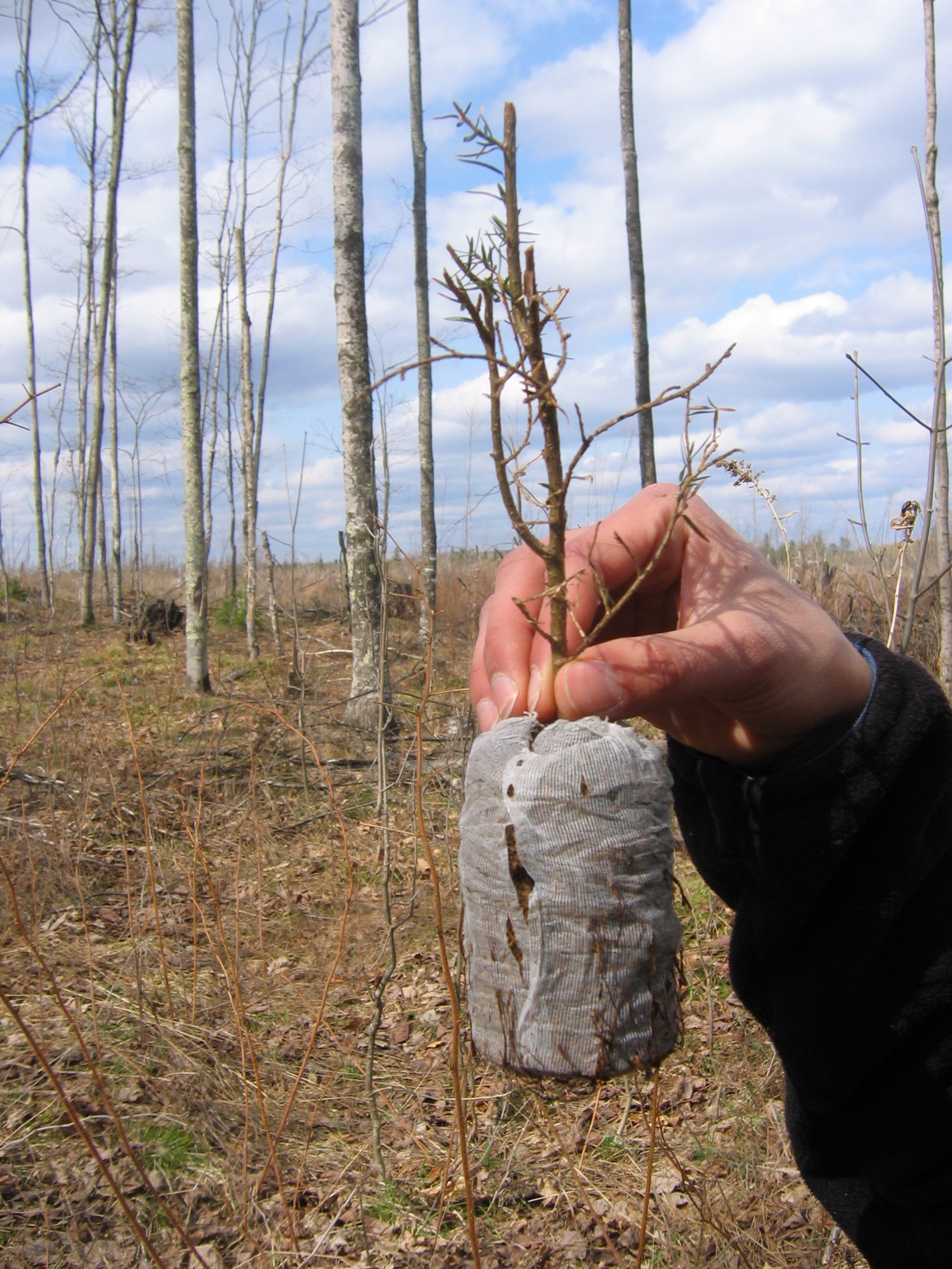
We haven't begun analyzing our data as yet, but some anecdotal observations stand out. First, the deer preferentially browsed Hemlock over the other species, often removing virtually all non-woody biomass as shown by the 'before and after' examples below (NB - these photographs are not of the same tree and this is not a true before/after comparison).
In some cases, the deer not only removed all non-woody biomass but also pulled the tree out of the ground (as shown below).
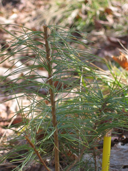
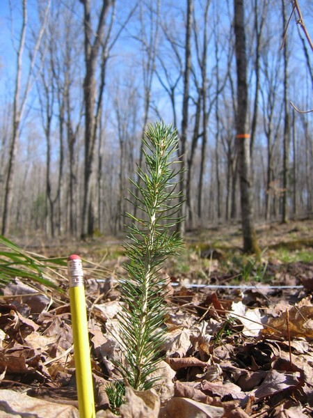
In contrast, White Pine was browsed to a much lesser extent and White Spruce was virtually untouched (as shown below).
Having a species that was unaffected by deer (i.e. spruce) often made our job of finding the other trees much easier. Finding heavily browsed Hemlock that no longer had any green vegetation was often tricky against a background of forest floor litter.
The next step now is to start looking at this variation in browse through a more quantitative lens. Then we can start examining how browse and deer densities vary across space and how these variables are related to one another and other factors (such as snow depth and distance to conifer stands).
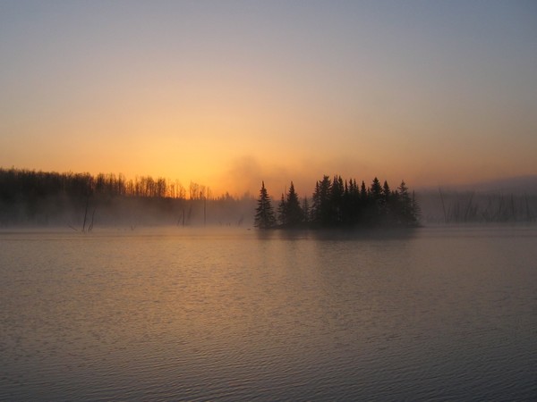
All-in-all the two weeks of work went pretty well. There were some issues with water-logged roads (due to snow melt) meaning we couldn't get to one or two of the sites we planted at, but generally the weather was pretty good (it only rained heavily one day). I'll write more once we have done more analysis and stop here with a shot I took at sunrise as I left for home.
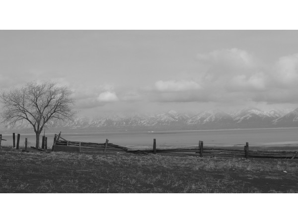
Last week I took a brief snowboarding trip to Utah. After two days on the fantastic Snowbird slopes we explored the area around Salt Lake City a little. One place we visited was Garr Ranch on Antelope Island, home of the oldest Anglo house still on its original foundation in Utah. Perched in the middle of the Great Salt Lake, it was quite a windswept location and impressive that it's also the longest Anglo inhabited site in the state. A couple of photos from the trip now on the photos page.
A few pictures from our trip to the UP study area this past week.
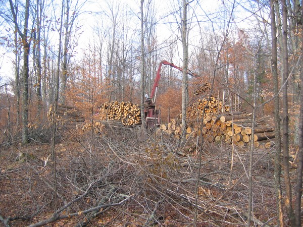
The fall was almost over. We were out on a recce to find sites for an experiment we're setting up over the next couple of weeks to examine the impact of deer browse on seedlings of various conifer species.
We want to locate our seedling planting on both state and commercial lands - cutting had recently finished at this commercial site.
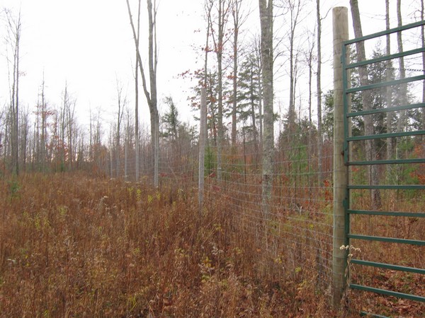
We also visited a deer exclosure set up to examine tree regeneration in the absence of deer browse (similar in many ways to our experiment). It's not the best picture, but the effects of 12 years of protection can be seen - very little regeneration on the left of the fence but evidence of green juveniles on the right. These effects haven't been quantified at this site but by sight alone there's clearly difference outside s inside the exclosure.
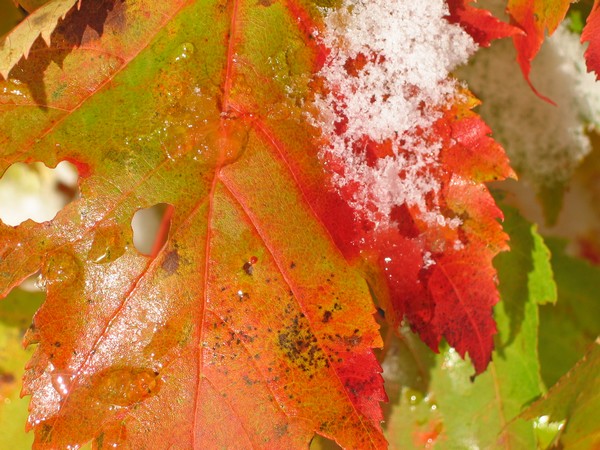
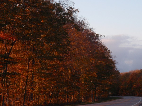
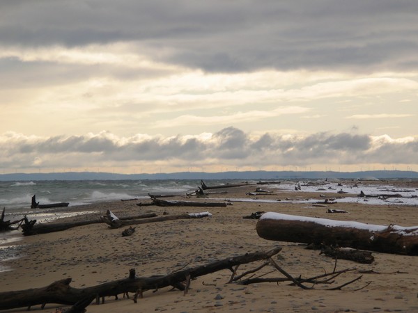
Finally, not all the leaves had fallen. We were a couple of weeks late for the real colours, but some remained down on the Lake Michigan coastline.
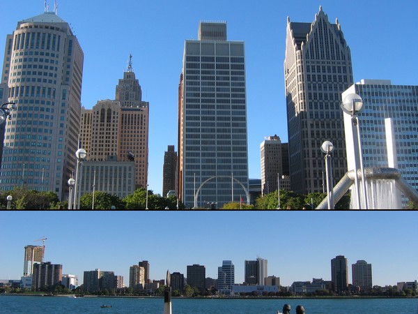
For now here is a grossly unfair, and probably invalid, comparison (but this is how it felt just looking whilst stood there). On one side of Detroit River is its namesake, Detroit, Michigan (top). On the other side lies Windsor, Ontario (bottom).
"I began to like New York, the racy, adventurous feel of it at night, and the satisfaction that the constant flicker of men and women and machines gives to the restless eye."F. Scott Fitzgerald
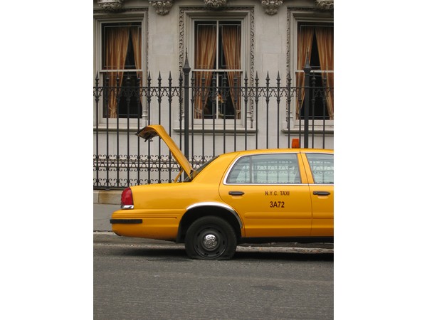
I, on the other hand, liked it immediately. Like London, it just has that energy that gets mind and body moving. I arrived the day after the tornado and the transport network was just getting back to normal. There were still a few problems though...
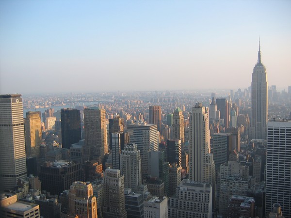
So, my highlights: Top of the Rock (the usual tourist thing of going to the top of something tall and checking the view - above); the UN HQ (below); Brooklyn Bridge (another US bridge about to collapse by the look of things); generally just hangin' out with old friends enjoying the atmosphere with a few beers (Brooklyn Lager was pretty good); and learning to play wiffle ball in the street at 3am (not the easiest whilst half cut...) All good!
One evening whilst sitting on a deck overlooking a tranquil lake in the wilds of the UP's northern hardwood forests, I began reading William Cronon's contributions to the volume he edited himself; Uncommon Ground. The book has been around for a decade and more but it is only recently that I came across a copy in a secondhand book store. It seems apt that I considered what it had to say about the 'social construction' of nature in a setting of the type that has long intrigued me. Maybe the view of a landscape which confronted me is another of the reasons I am doing what I am right now. I have had pictures of these large wilderness landscapes on the walls of my mind, and elsewhere, for a while.
Cronon examines "the trouble with wilderness" with reference to the Edenic ideal that underlay it from the beginning. Wordsworth and Thoreau were in bewildered or lost awe of the sublime landscapes they travelled, but by the time John Muir came to the Sierra Nevada the landscape was an ecstasy. Whilst Adam and Eve may have been driven from the garden out into the wilderness, the myth was now 'the mountain as cathedral' and sacred wilderness was a place to worship God's natural world. Furthermore, as the American frontier diminished with time and technology,
"wilderness came to embody the national frontier myth, standing for the wild freedom of America's past and and seeming to represent a highly attractive natural alternative to the ugly artificiality of modern civilization. ... Ever since the nineteenth century, celebrating wilderness has been an activity mainly for well-to-do city folks. Country people generally know far too much about working the land to regard unworked land as their ideal." (p.78)
Cronon suggests that there is a paradox at the heart of the Wilderness ideal, this conception that true nature must also be wild and that humans must set aside areas of the world for it to remain pristine. As Cronon puts it, this paradox is that "The place where we are is the place where nature is not". Taking this logic to its extreme results in the need for humans to kill themselves in order to preserve the natural world;
"The absurdity of this proposition flows from the underlying dualism it expresses. ... The tautology gives us no way out: if wild nature is the only thing worth saving, and if our mere presence destroys it, then the sole solution to our own unnaturalness, the only way to protect sacred wilderness from profane humanity, would seem to be suicide. It is not a proposition that seems likely to produce very positive or practical results." (p.83)
I'll say. But Cronon is not saying that protected wilderness areas are themselves undesirable things, of course not. His point is about the idea of Wilderness. As a response he suggests that rather than thinking of nature as 'out there', we need to learn how to bring the wonder we feel when in the wilderness closer to home. We need to abandon the idea of the tree in the garden as artificial and the tree in the wilderness as natural. If we see both trees as natural, as wild, then we will be able to see nature and wildness everywhere; in the fields of the countryside, between the cracks in the city pavement, and even in our own cells.
"If wildness can stop being (just) out there and start being (also) in here, if it can start being as humane as it is natural, then perhaps we can get on with the unending task of struggling to live rightly in the world - not just in the garden, not just in the wilderness, but in the home that encompasses both" (p.90)
Sitting on that deck looking out over the lake it was clear that landscapes such as the one I was in aren't the idealised, pristine, wilderness that they may be portrayed as in books, photographs and travel brochures. Just as in studying its nature I have come to understand a little better the uncertainties of the scientific method that is supposed to bring facts and truth, so I think have come to better understand the place of human needs within these 'wild' landscapes. As naive as it is to think that science might offer the absolute truth (it can't, but it is still the best game in town to understand the world around us), thinking humans are inseparable from nature seems equally foolish.
In the introduction to a book on natural resource economics (which has mysteriously vanished from my bookshelf), an author describes a similar situation. As a young man he wanted to study the environment in order that he might save it from destructive hands of humans. But in time he came to realise this was unrealistic and that better would be to study the means by which humans use the 'natural world' to harvest and produce the resources we need to live. Economics is concerned with the means by which we allocate, and create value from, resources. Just as it is important to understand how 'nature' works, it is also important to understand how a world in which humans are a natural component works, and how it can continue to function indefinitely.
Landscape Ecology and Ecological Economics have grown out of this understanding. Whilst theories and models about the natural world independent of humans remain necessary, increasingly important are theories and models that consider the interaction between the social, economic and biophysical components of the natural world. These tools might help us get on with the task of living sustainably in the place which humans should naturally call home.
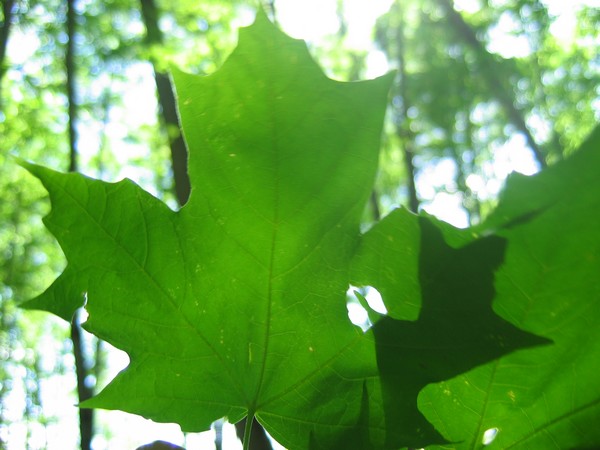
Some of the State natural resource manager I met with spoke about the 'Maple-ization' of the forests in the western UP - whilst a native of these forests, the economic value of Maple wood is leading to the removal of other Northern Hardwood species and an (over) dominance of Maple.
The Mackinac Bridge, linking the Upper and Lower peninsulas of Michigan, celebrates its 50th birthday this year. Currently the third-longest Suspension Bridge in the world (at 1.7 miles of suspended roadway) it was originally dubbed the 'Bridge to Nowhere'. Now however, it provides a vital (though recently decreasing) influx of tourist dollars to the UP. Whilst impressive, IMHO the Mackinac Bridge doesn't have a patch on the Bristolian's beloved Clifton Suspension Bridge.
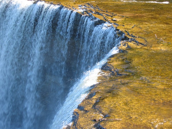
Many of those tourists crossing the Mackinac Bridge head to Tahquamenon Falls. The second largest waterfalls east of the Mississippi (after Niagra), at peak flow more than 50,000 gallons of water per second flow over the edge.
Checkout the location of these pics, and others I took on my trip, at the photos page.